Landscape
Vegetation & Soil Clues — GeoGuessr Landscape Meta
Use trees, crops, red soil, and climate cues in GeoGuessr to filter continents fast — a practical vegetation and soil meta guide for training.
4 min read ·
Before you read a single word of signage, the landscape has already narrowed the map. Vegetation and soil are slower than a highway shield — but they are available in almost every rural and peri-urban round.
This guide turns “green trees somewhere” into a usable decision tree you can practice on KnowYourGeo.
# The landscape ladder (use in this order)
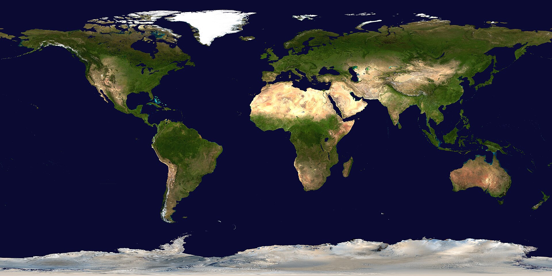
- Climate band — tropical / arid / temperate / boreal / alpine
- Biome texture — rainforest, plantation, scrub, grassland, deciduous, conifer
- Soil & rock color — red laterite, black earth, chalky, volcanic dark
- Crop / plantation type — rice, oil palm, eucalyptus, olive, cereal
- Architecture + script — now lock the country
If you jump to country names before step 1–2, you will mis-pin lookalikes constantly.
# Climate bands you can actually see
# Boreal / high latitude
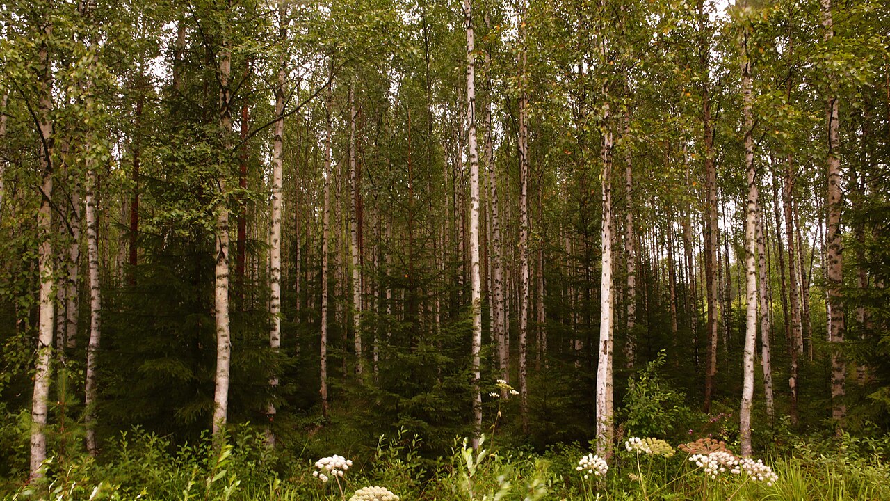
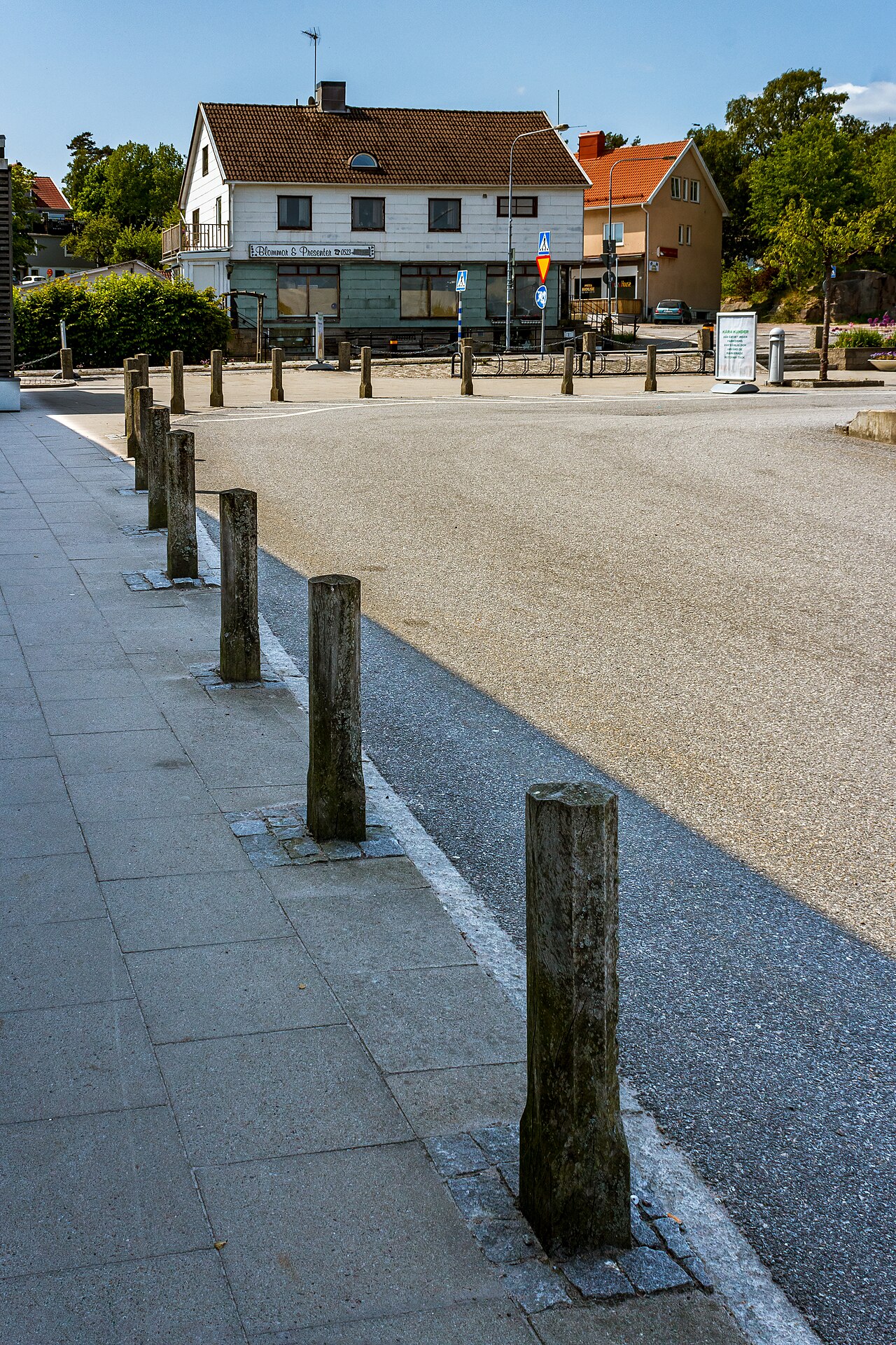
Birch, spruce, thin soils, long winter roadside markers, low sun angles in many gens. Northern Europe and Canada share vibes — break them with script, bollards, and road paint.
# Arid / desert
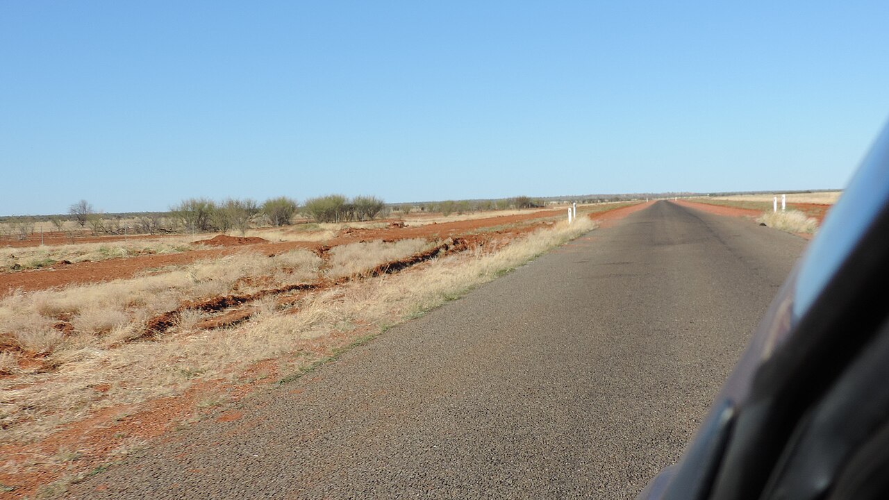
Bare ground, scrub, washed-out grasses, distant mesas or dunes. Then split Americas vs Africa vs Australia with driving side, poles, and soil redness.

# Equatorial / tropical plantation
Oil palm and dense humid green are strong tropical signals. Combine with left/right traffic and script to separate Malaysia/Indonesia candidates from West Africa or Latin America.

# Eucalyptus and Southern Hemisphere tells
Eucalyptus roadside stands are a famous Australia/elsewhere clue — powerful when stacked with left-hand traffic and soil color, weaker alone (eucalyptus was planted widely).

# Soil color as a filter
Red soils (lateritic) appear in Australia, parts of Africa, Brazil, India, and more. Do not pin Australia from redness alone. Instead:
- Red + left traffic + eucalyptus / sparse scrub → Australia rises
- Red + right traffic + Portuguese/Spanish cues → South America candidates
- Red + Devanagari / Indian road style → India candidates
Black, peaty, or chalky soils similarly nudge climate and agriculture hypotheses.
# Crops and terraces
Rice terraces and wet-field agriculture scream specific altitude/climate bands in Asia (and some other regions). Use them to choose a zone, then confirm with script and road furniture.

# Mountain vs coastal vegetation
Alpine scrub, fjord greens, and Andean sparse slopes all change your zoom strategy. Mountains often mean: less language, more geology + road engineering.

# KnowYourGeo practice loop
- Play Africa, Asia, or Oceania continent maps where landscape dominates.
- After each round, write one sentence: climate band + one plant/soil note.
- In AI review, check whether that note was directionally correct.
- Build a personal album of 12 photos max — more than that and you stop reviewing.
# Mistakes to kill
- Calling a country from one tree species you “kinda recognize.”
- Ignoring seasonality and camera generation (greens look different).
- Skipping architecture when vegetation is ambiguous — corrugated roofs, whitewashed villages, and tiled Mediterranean towns are landscape partners.

# Bottom line
Vegetation and soil are your continent throttle. Learn bands first, species second, country third. That order is how landscape meta becomes useful instead of decorative.

.jpg)
.jpg)


